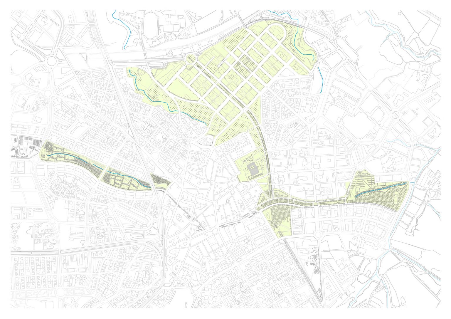
Central Park of Sant Cugat del Vallès
Geography as a guideline for urban growth that introduces the "cool island" effect within the city through a linear park.

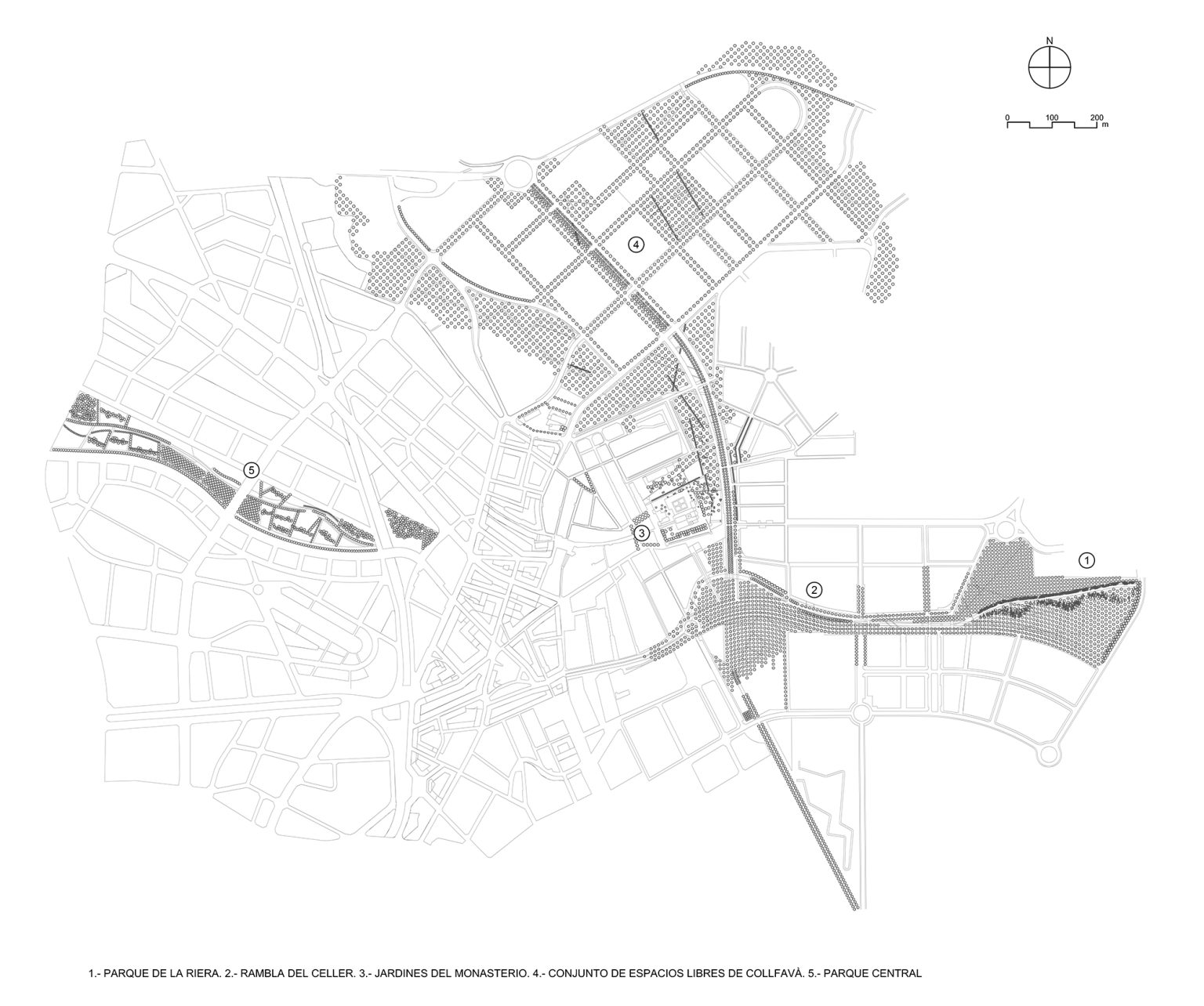
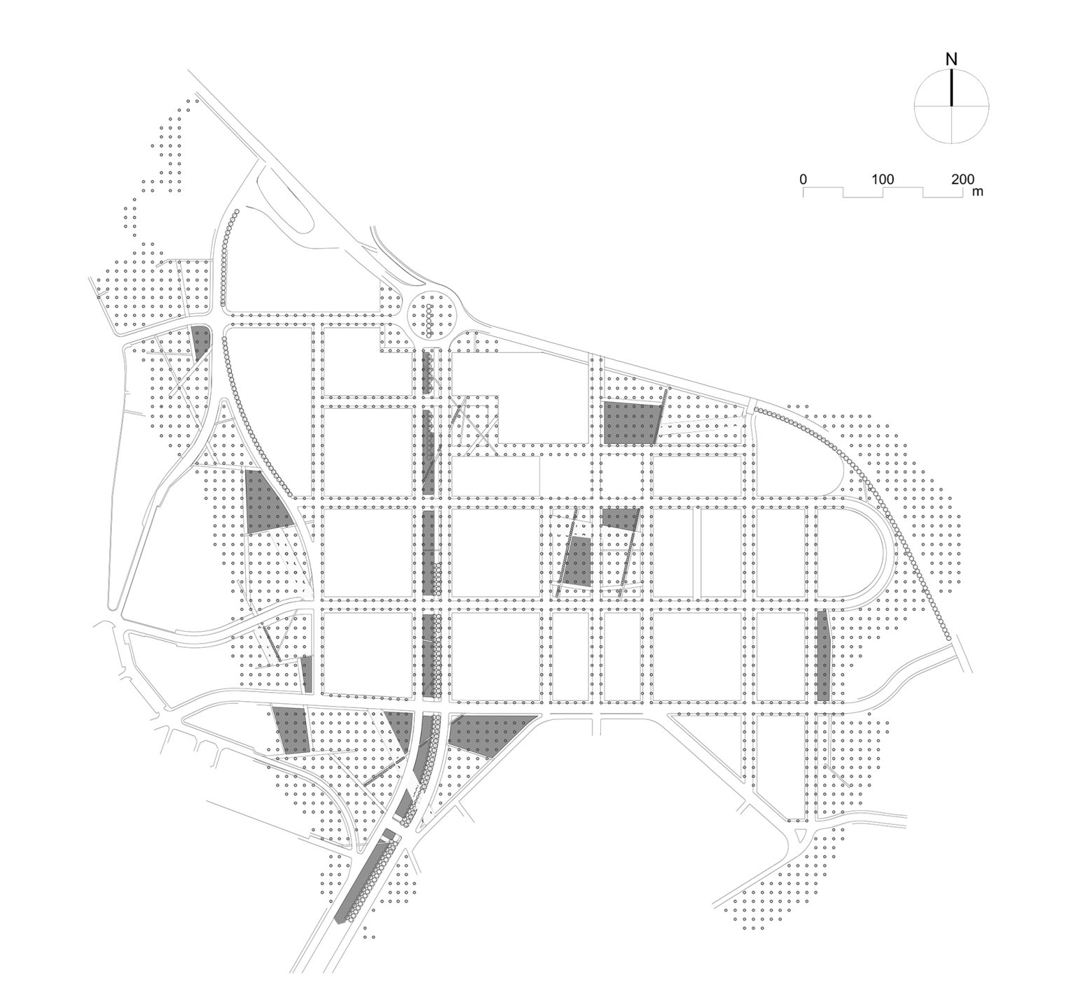
The park system of Sant Cugat del Vallès is the outcome of a series of partial development plans carried out over recent years, all based on a shared vision: the design of open spaces as a synthesis of the city’s urban form.
Adopting a comprehensive design approach has allowed us to address a wide range of conditions—conflicting approved plans, diverse site contexts, and fragmented execution involving various developers and fluctuating budgets.
The main objectives of the project have been to provide a unified treatment for all open spaces across the different urban developments and to preserve the site’s historical and environmental memory. Through the critical review of urbanization proposals and the establishment of consistent design criteria, we sought to transcend the isolated nature of each individual project and create a cohesive narrative that, using only vegetation and paving, appears to predate the construction of the city itself.
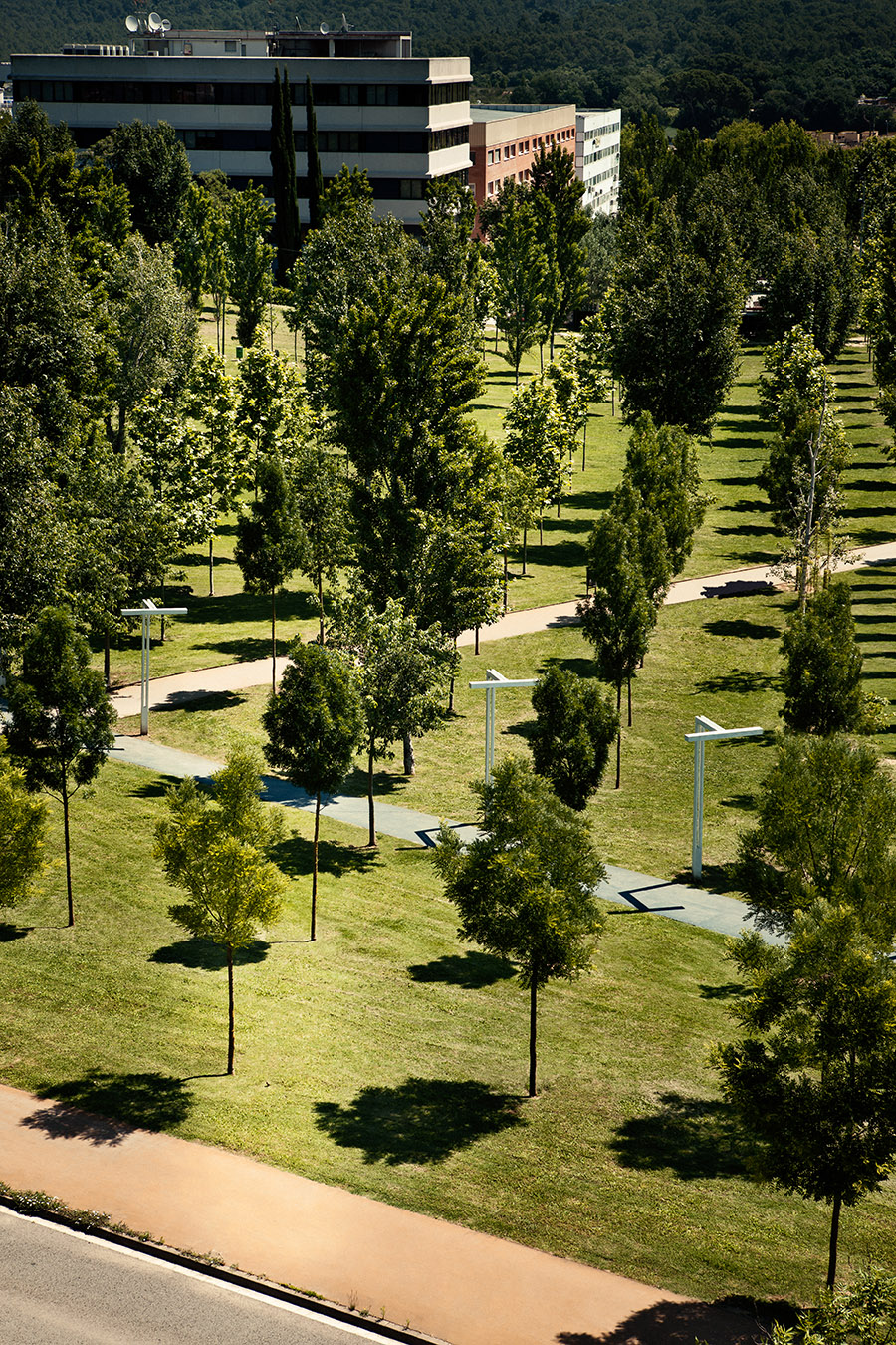
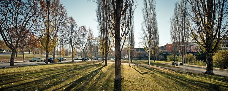
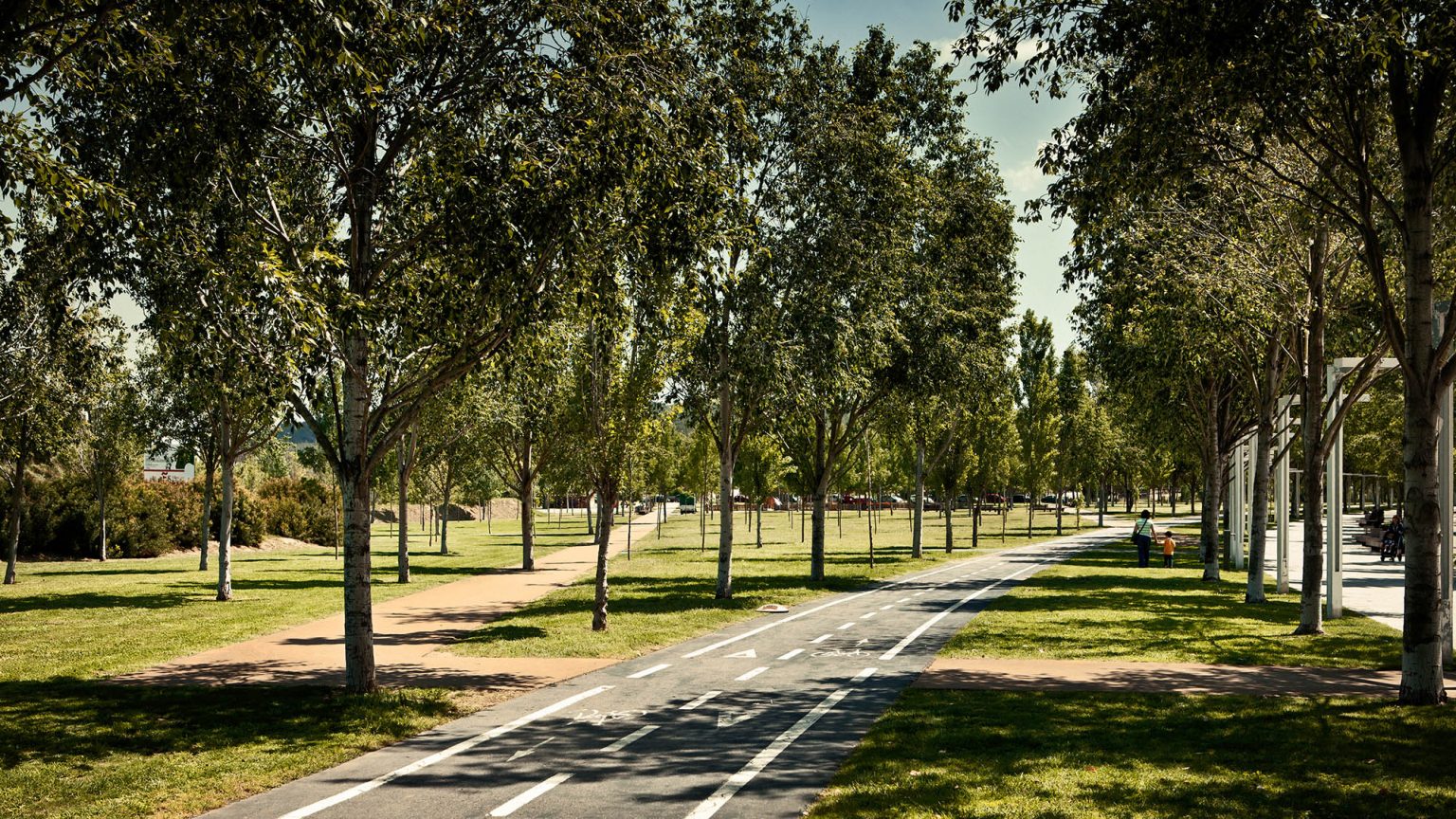
This unified vision is reinforced by elements such as grids of poplar trees, which suggest the generative logic behind the street layout, and a continuous grass surface that seamlessly covers parks, linear planting beds, and plazas alike. This sense of unity is further consolidated by the commitment to continuous pedestrian and bicycle connectivity throughout the entire park system.
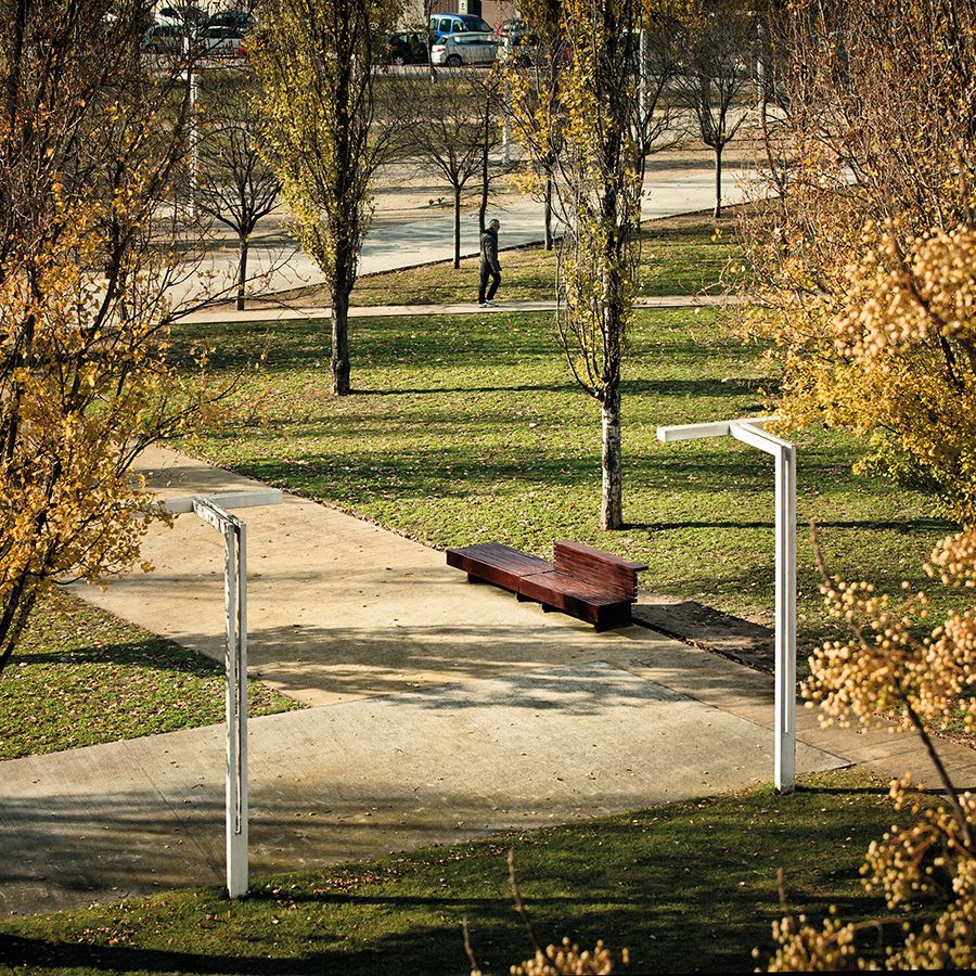
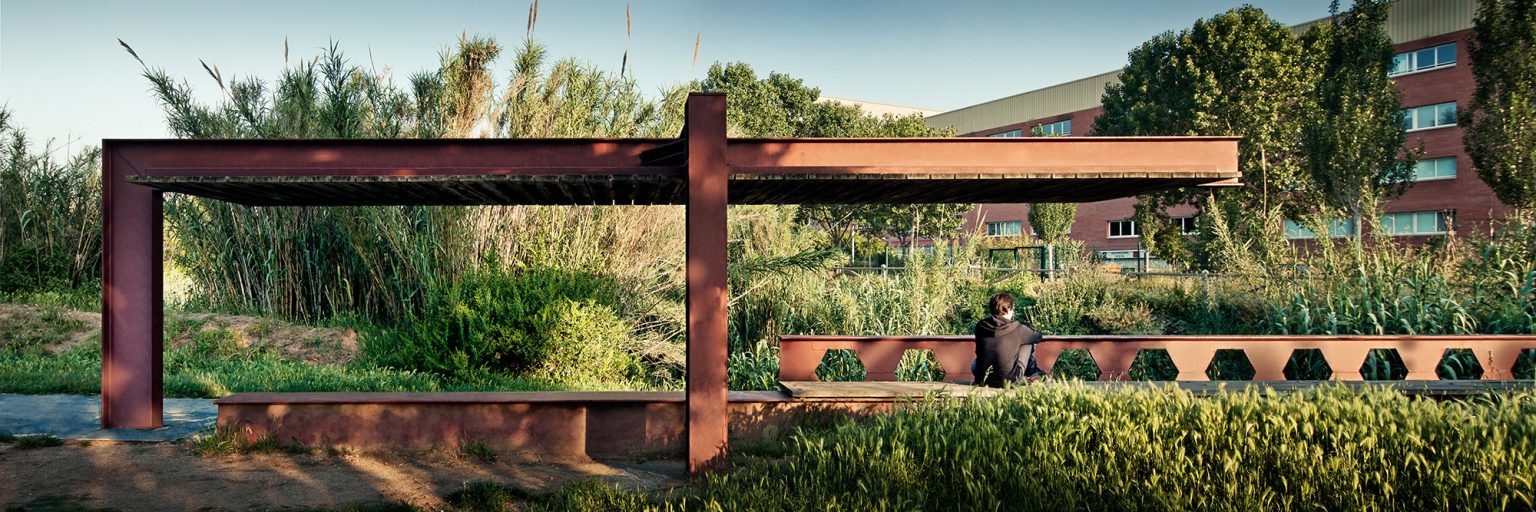
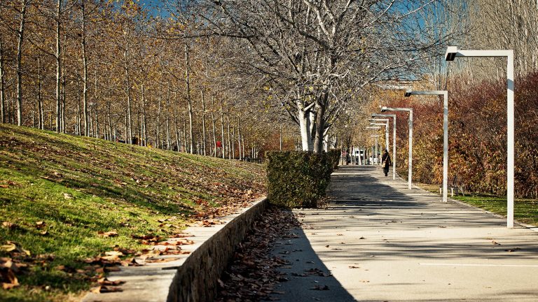
La Rambla del Celler. / © Jordi Surroca
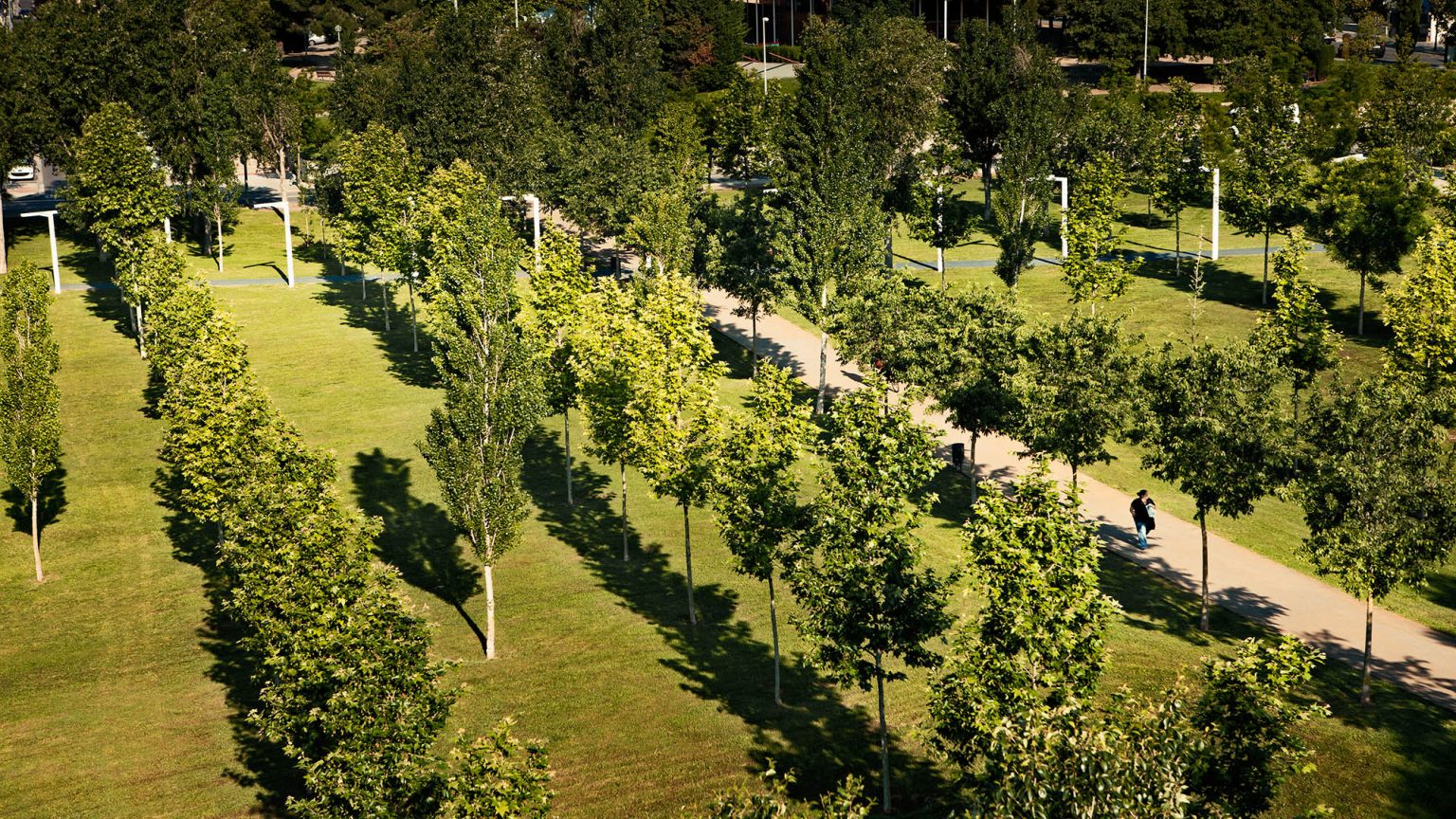
La Rambla del Celler. / © Jordi Surroca
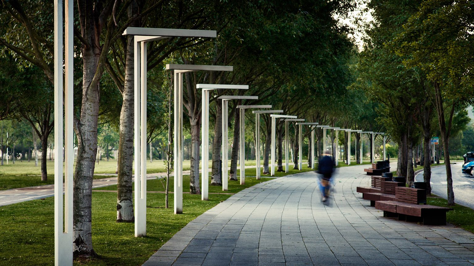
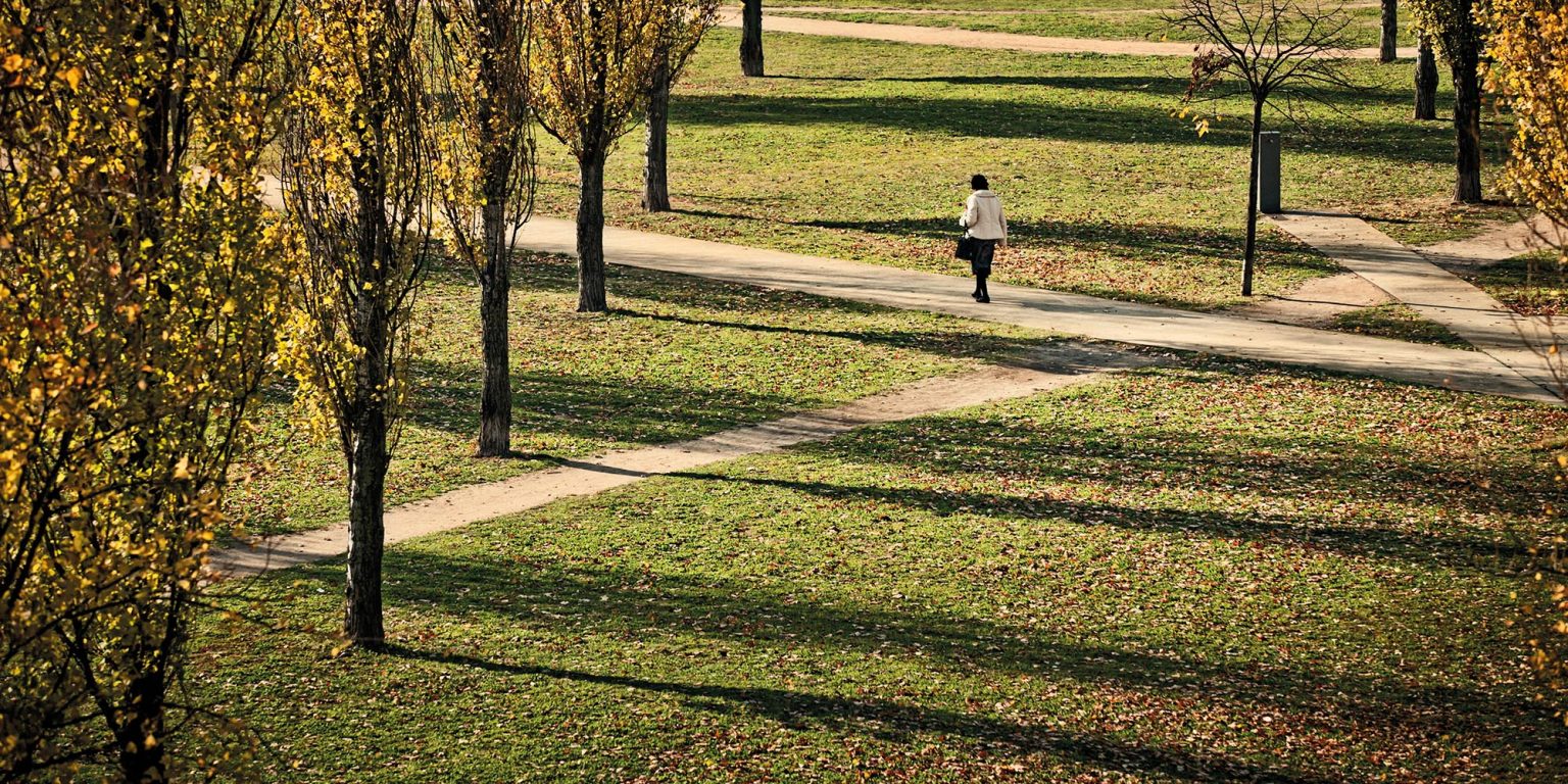
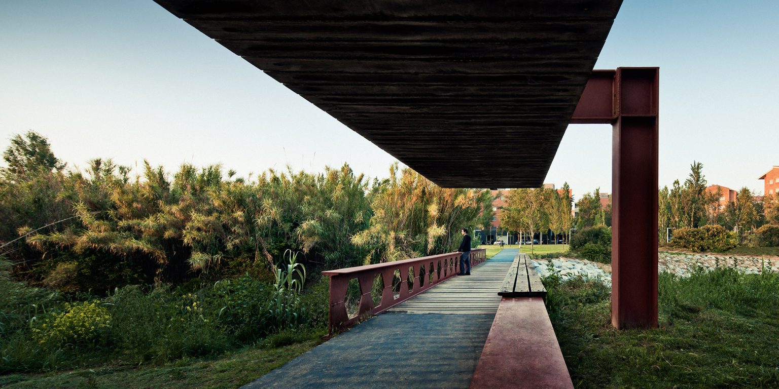
Rambla del Celler. / © Jordi Surroca
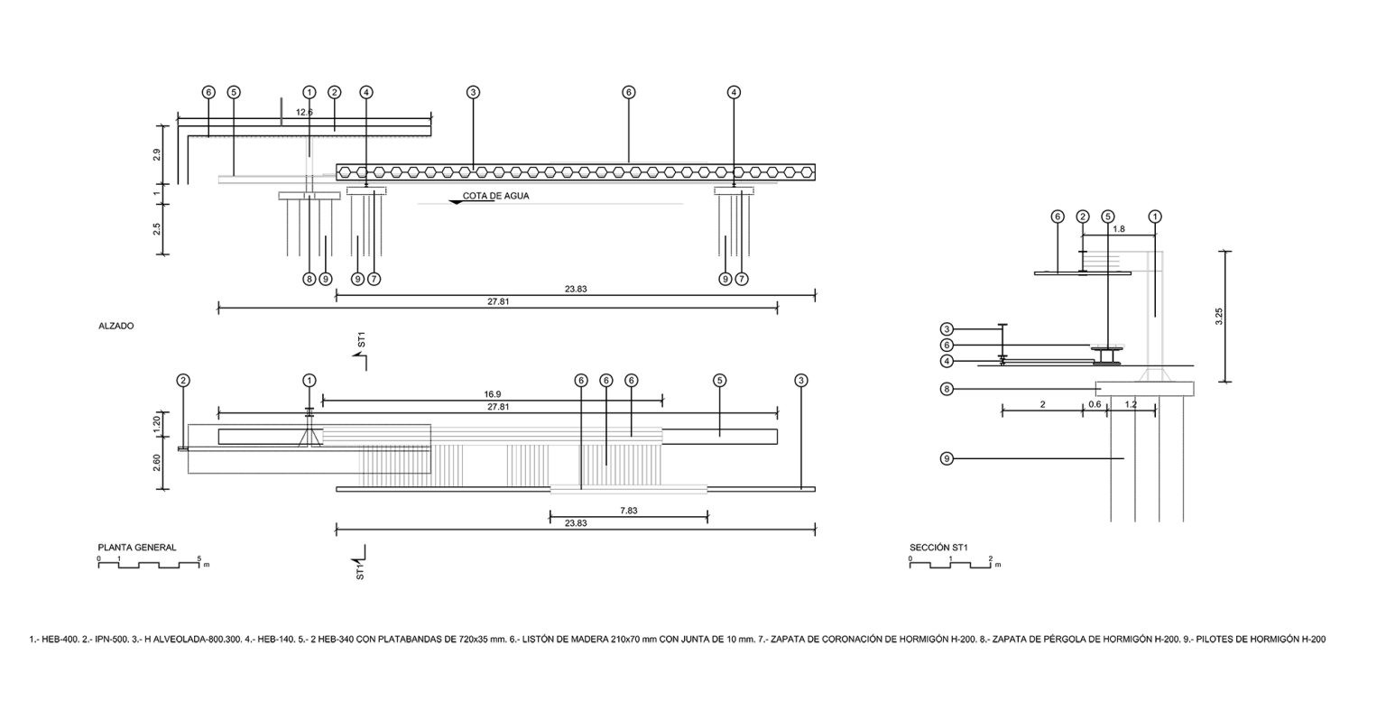
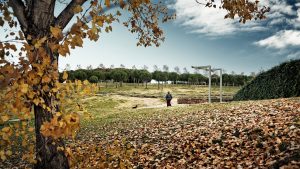
The areas of Coll Favà and the Rambla del Celler are resolved through landscape interventions that respect the constraints of existing urban plans. In the case of Coll Favà, the layout reflects a traditional urban expansion bordered by a natural area, while the Rambla del Celler follows the course of a formerly open stream that has since been covered.
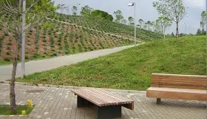
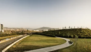
Riera Park represents the final component of the system, enabling a connection between the park network and the natural landscape of Torre Negra and the Collserola mountain range. Designed with the same principles of continuity that define the broader system, the park takes advantage of its peripheral location—distant from the historic center—to preserve and enhance existing topographical and ecological richness.
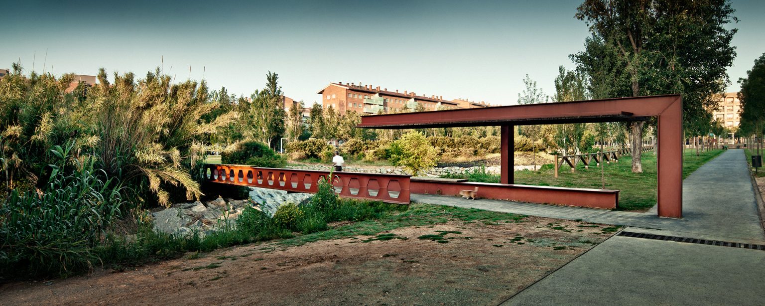
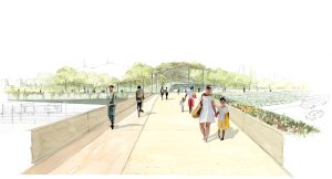
The exposure of the stream in this section allowed for the reshaping of its topography, resulting in a series of retention basins that slow the water’s flow and support its ecological restoration. The use of native riparian plant species, instead of ornamental varieties, promotes the gradual recovery of a once-lost ecosystem.
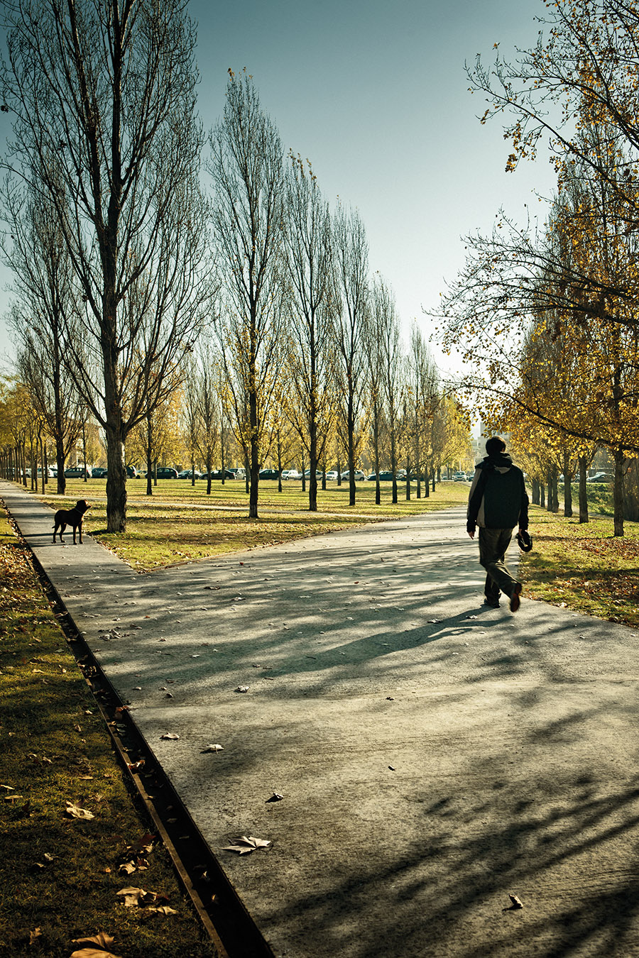
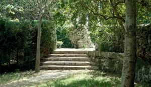
The intervention also includes a series of pedestrian bridges across the stream, enhancing transverse connectivity between the park and the surrounding urban fabric. A network of paths provides a longitudinal link from the historic city center to the Collserola Natural Park, weaving through emblematic landscapes within the system—such as the Monastery Gardens, the stream itself, and the final Alameda Park, one of the few remaining examples of this kind of riparian landscape.